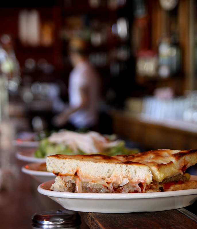
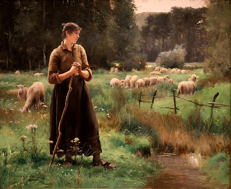
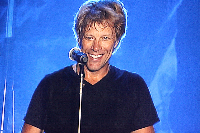
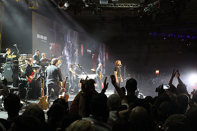
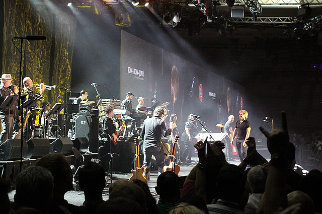
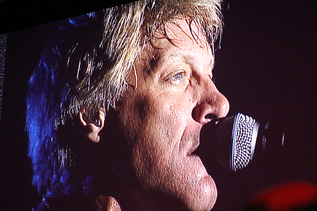
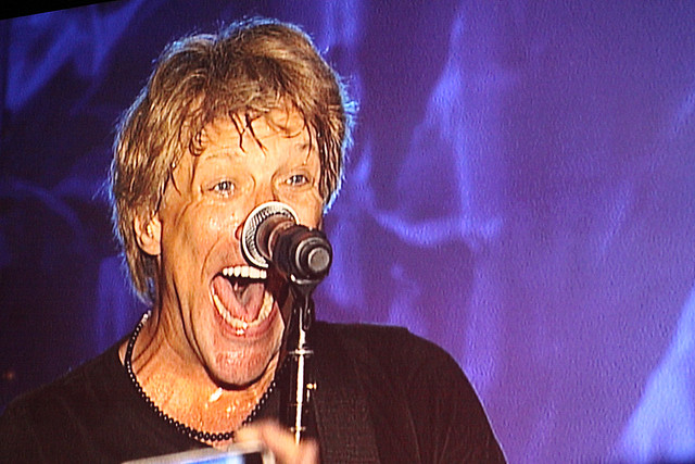
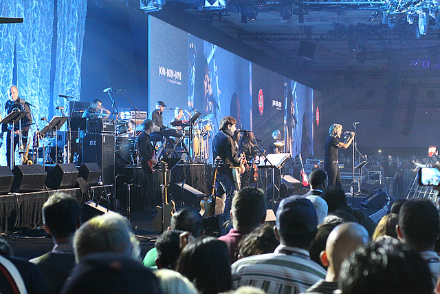
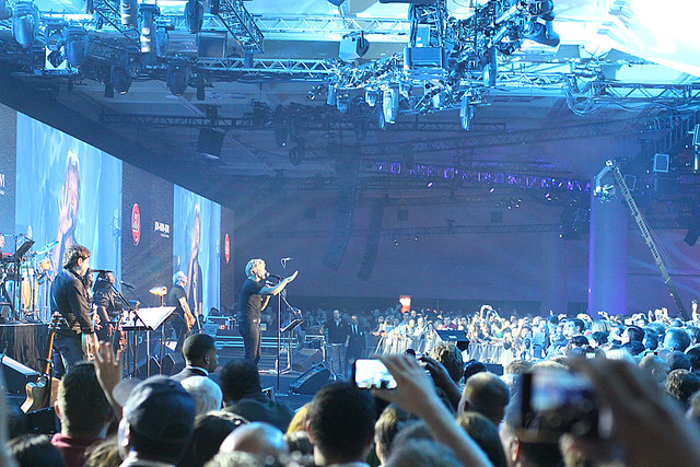
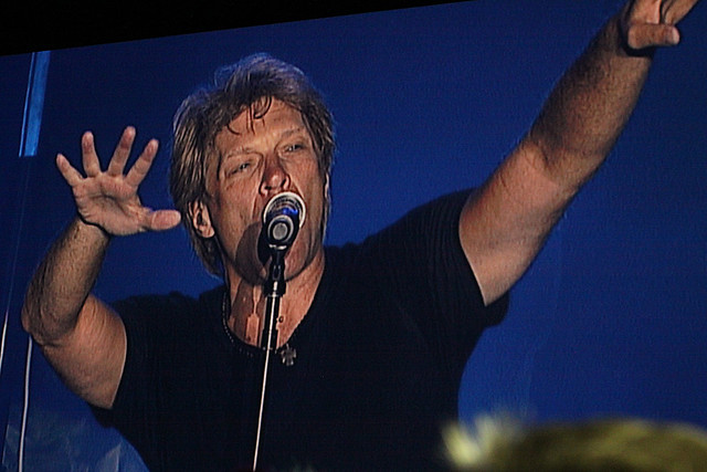
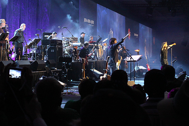
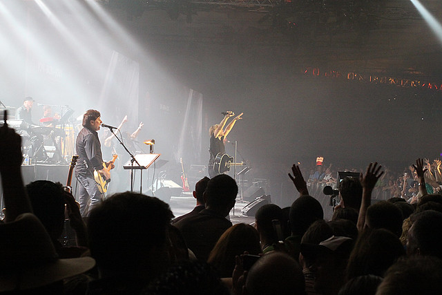
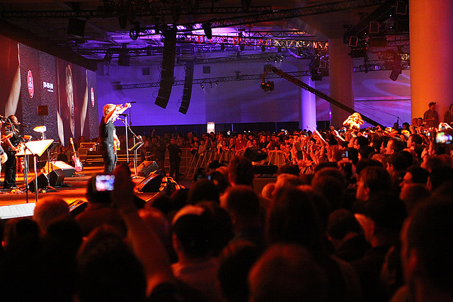
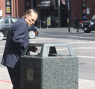
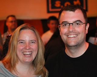
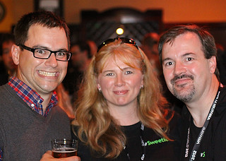
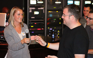
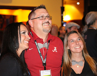
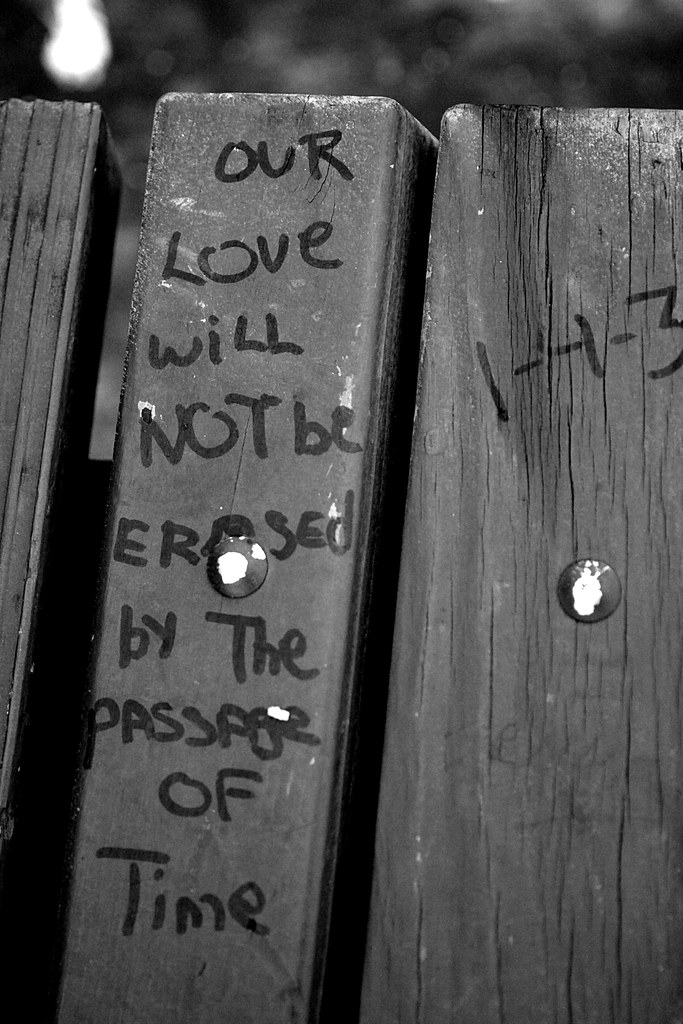
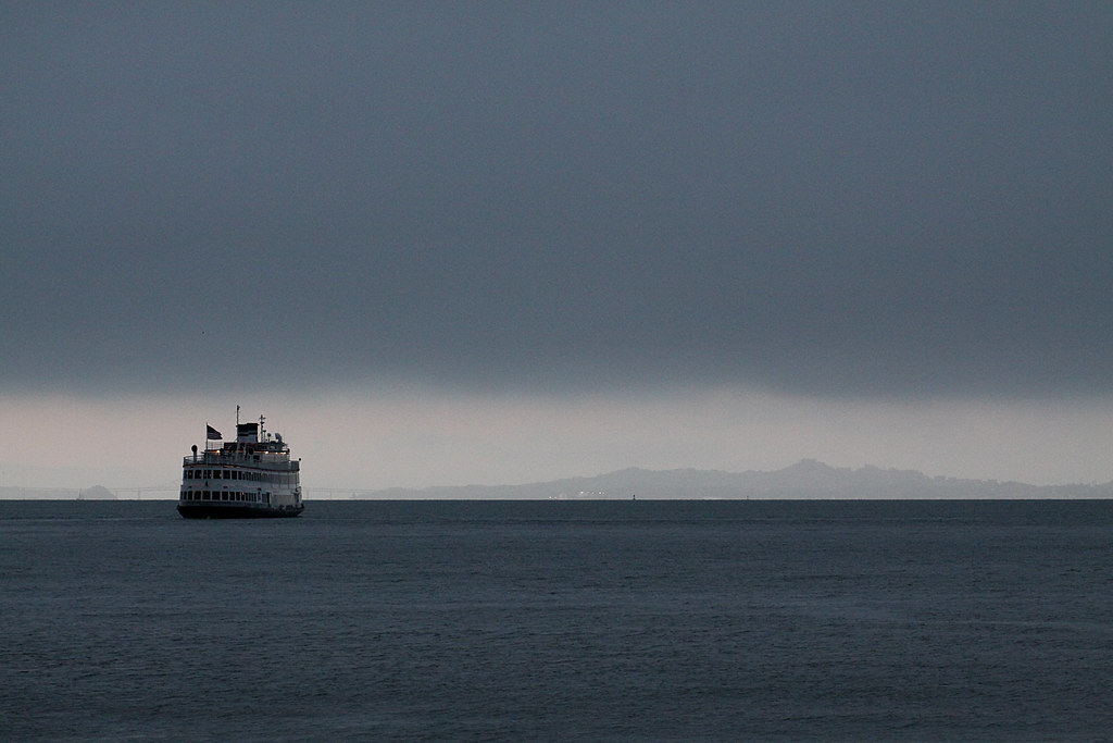
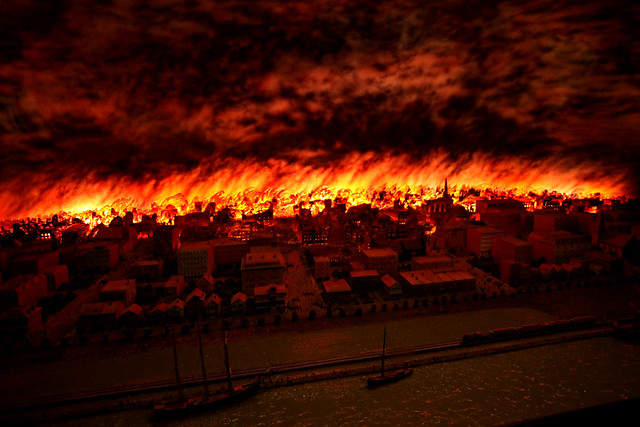
Took a trip to San Francisco this summer both to attend VMWorld 2013 and to do some sight seeing. Here are a selection of photos from that trip. Click on each one for the full view. There are a lot more posted to my photo set on Flickr, so be sure to check those out as well.
Travels
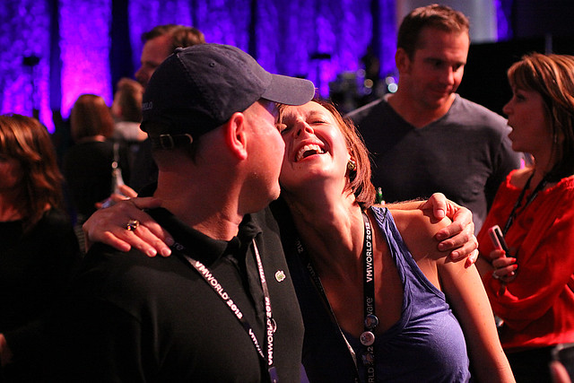
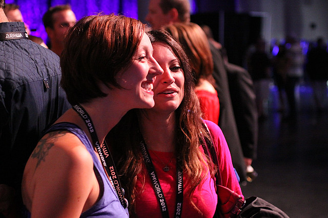
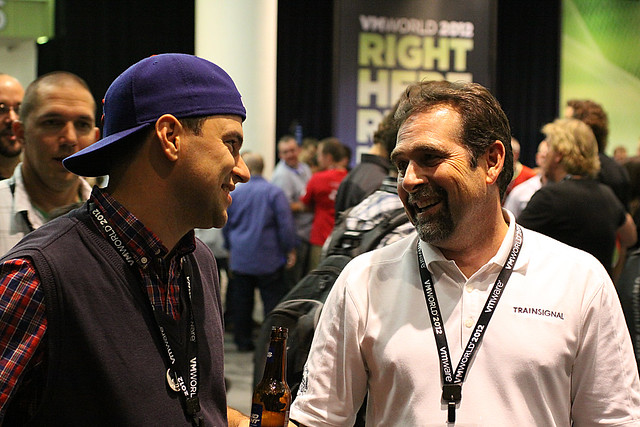
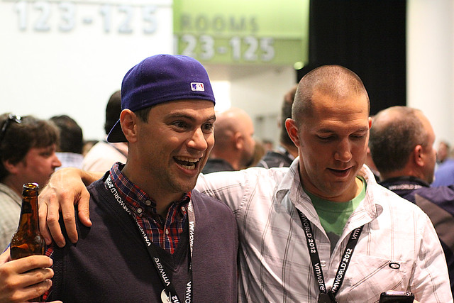
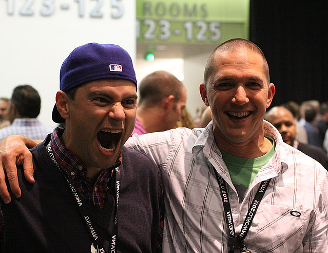
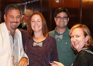
Now for my final post of photos from San Francisco and the VMworld 2012 Party held Wednesday evening.
As always, please visit my Flickr Set or click on each photo below to go directly to it on Flickr. Please share and enjoy these photos, and remember that they are licensed under the Creative Commons Attribution, Non-Commercial, Share Alike (BY-NC-SA) license.
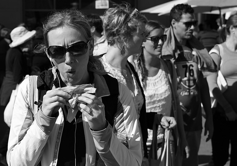
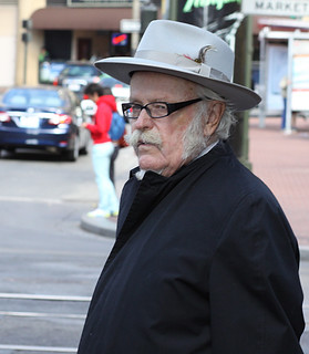
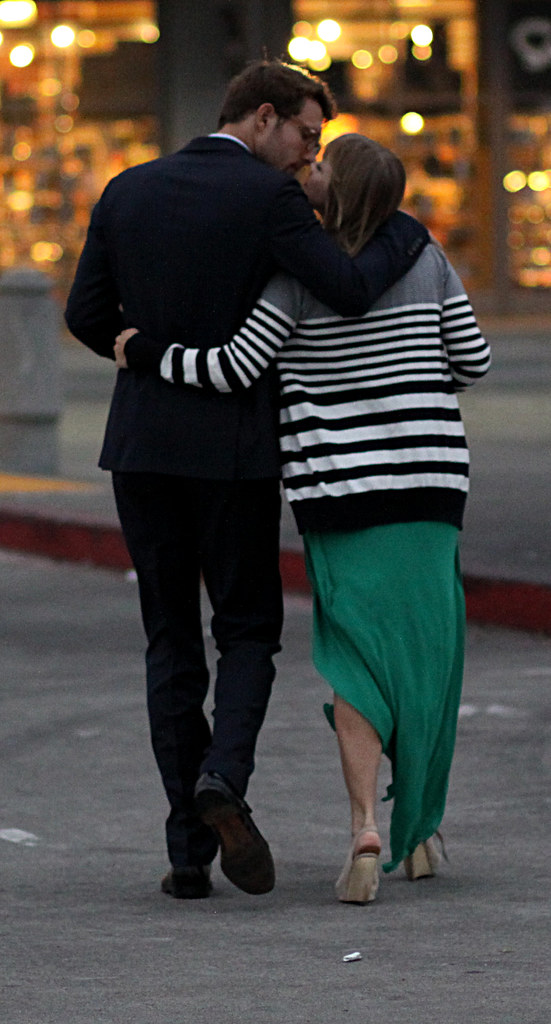
Another set of photos from San Francisco. Opening day for VMworld 2012 had registration start at 11 AM and the Hands On Labs start at the same time. After waiting in line for the HOL most of the afternoon I finally gave up, grabbed a very late lunch, and took some time to walk around for a little street photography. After that I headed over to the VMUnderground Warm Up Party as a Service (WUPaaS) lugging my camera along to get some candid shots from the party.
As always, please visit my Flickr Set or click on each photo below to go directly to it on Flickr. Please share and enjoy these photos, and remember that they are licensed under the Creative Commons Attribution, Non-Commercial, Share Alike (BY-NC-SA) license.
Doing things a little differently for this post. These are small versions, and I’ve posted the entire set below. Click on a photo to bring up the larger versions from my Flickr page.
Update #3: I’ve had zero time to work on my photos. Had a family emergency over the Labor Day Weekend (not fun calling 911 on Saturday). Photos coming soon, I promise! Please check back.
Here’s a teaser photo from the VMworld 2012 Party last night. There will be many more photos to come, so please check back!
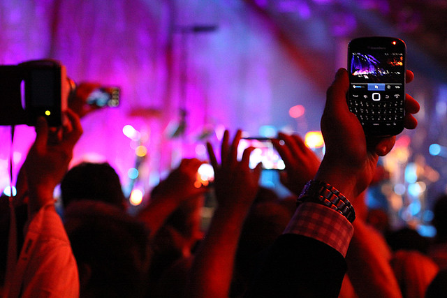
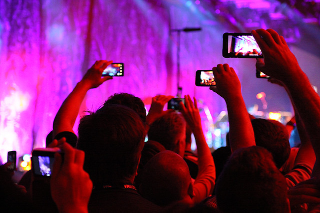
Has the smart phone supplanted the Zippo? Empirical evidence provided.
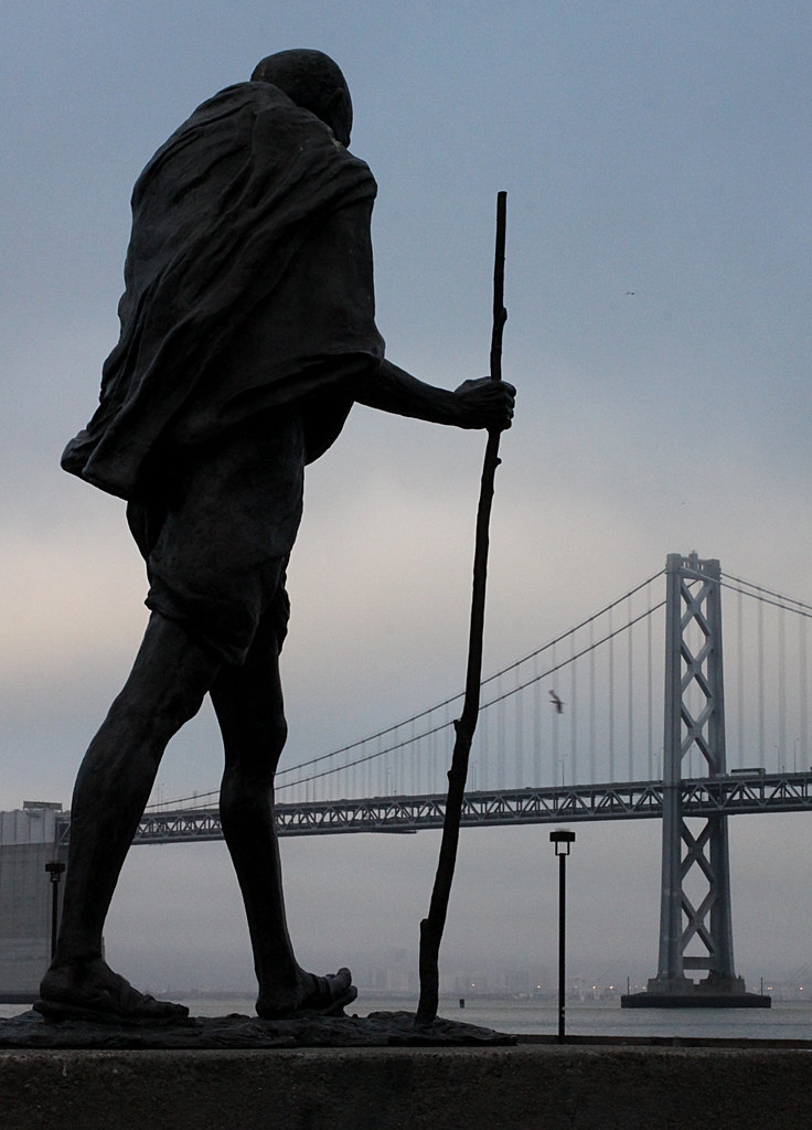
Here’s the Ghandi statue in the Ferry Building parking lot:
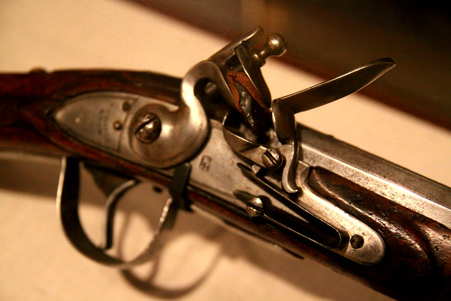
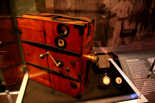
On our recent trip to Chicago, we decided to spend a morning at the Chicago History Museum. Here are a few selected photos from that visit, with more available in the Flickr set.
I recommend putting this museum on your list of “must see places” in Chicago.
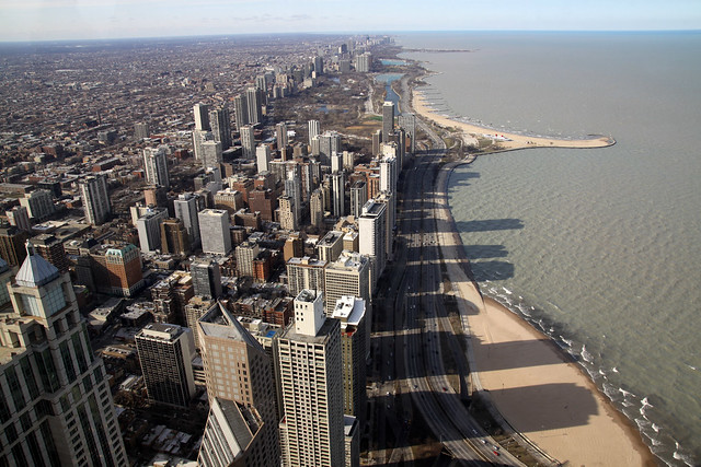
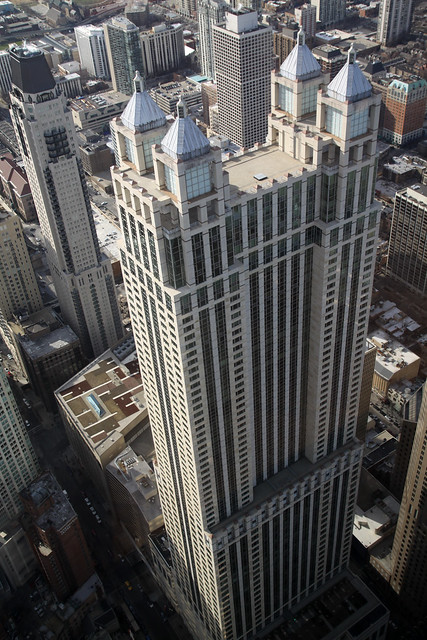
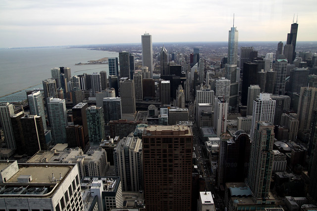
My wife and I took a mini vacation to Chicago last weekend. This was our second trip to Chicago, the previous being way back in 2003. Back then, we visited both the (then) Sears Tower (now, Willis Tower) Skydeck and the John Hancock Observatory. While the Skydeck is definitely taller, you simply cannot beat the view from the Hancock Observatory. The John Hancock Center tower is much closer to Lake Michigan (see this map), therefore you get a better mix of lake and city views. This time around, we skipped the Skydeck and opted instead for the more scenic JHO. Here are a few photos from that excursion.
My wife and I both agree. Unless you have a compelling reason to say you’ve “been there,” skip the taller Willis Tower Skydeck in favor of spending more time at the John Hancock Observatory. You won’t regret it!
We stayed up late the night before, so we did not hit the road until nearly 10 AM. Lori made delicious scrambled eggs with chopped up bits of leftover steak from the night before, so we had plenty of fuel for the (unbeknown to us at the time) long trek ahead.
I had plugged the directions from Google Maps into my Droid phone, as they had looked the most accurate to me the night before. Things went very well until we got to Olema, CA (10 minutes out from our rental home) and the directions told us to turn on to Sir Francis Drake Blvd. I knew from the night before that the route was supposed to stay on Highway 1 all the way down. I ignored the turn, trusting that the navigation would re-route us correctly. More on that later.
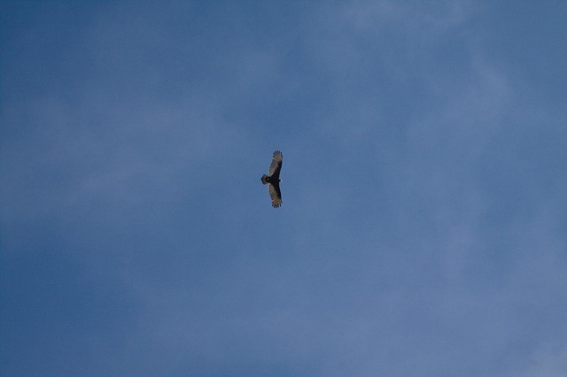
One of many raptors soaring along the coast
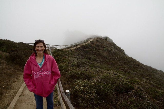
Lori poses at Muir Beach Overlook
The drive south out of Point Reyes Station was very scenic, and the roads were twisty and fun to drive. It reminded me a lot of the drive we took up the Pacific Coast Highway from LA to Monterey on our honeymoon. Unfortunately, there was a heavy fog rolling in from the ocean, so we did not get to see much of the actual ocean itself along the way.
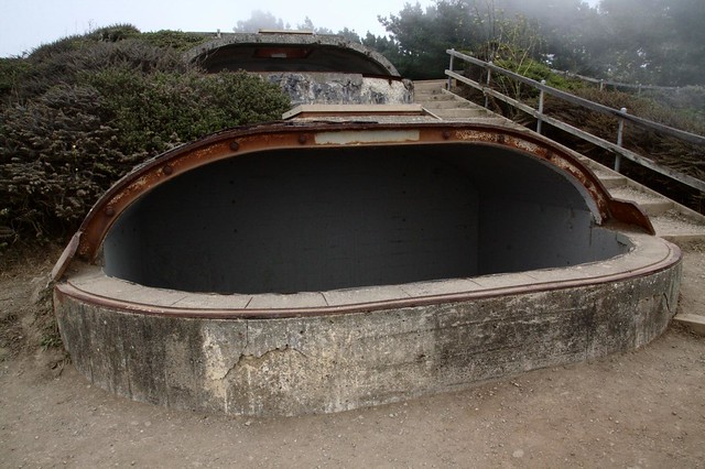
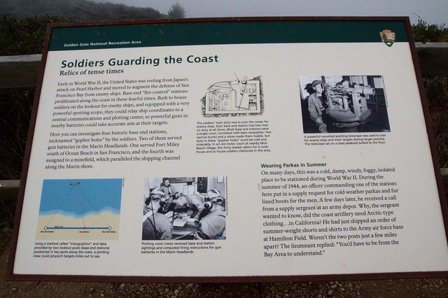
A sign explaining the purpose of the Base End Stations.
We were fine following the directions right up until we passed the sign for Muir Woods National Monument. We both saw the sign, but trusted the navigation which told us to keep going. I thought there might be a different way in to the park, so we kept going. And we kept going all the way to Sausalito, where the navigation told us our “destination” was the intersection of Turney and Bonita Streets. FAIL.
So then I punched up the directions which were generated by using the GPS co-ordinates given on the official Muir Woods National Monument Web site. Those couldn’t be wrong, could they? Well, we ended up back in Mill Valley, but the nav lead us deeper into a twisty maze of very narrow residential streets until we ended up at our “destination” — someones driveway!
After many “words’ exchanged between us and several miles of twisty, narrow residential roads traversed, we finally emerged back in what appeared to be the down town area of Mill Valley. I stopped a couple of times to get my bearings and compare those to the map (minus any help from the nav). I was then able to plot a route back to where we saw that Muir Woods sign a few hours previous and struck off in that direction.
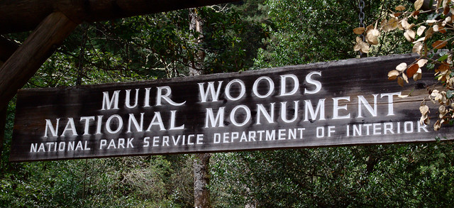
Sign at the entrance to Muir Woods
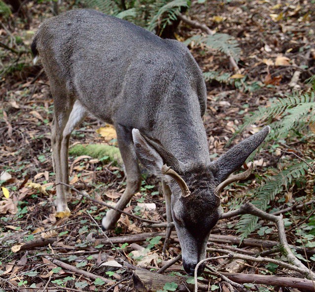
A very tame dwarf deer inside the park
What should have been a 50 minute drive turned into 40 minutes of pleasant, scenic driving followed by a couple hours of being utterly lost. We finally arrived in a parking spot around 1 PM. Fortunately, Lori had packed some leftover apple muffins from the night before so we were able to get some nourishment while we were lost. We spent the next 2 1/2 to 3 hours walking through the woods taking pictures and enjoying our hard-earned prize.
And now, lots of photos of trees!
The lighting was a bit challenging because it was dark in the woods even though the sun was shining
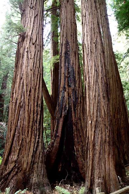
Some fire damaged trees. There were several throughout the park
Quite a few trees had fallen across the path, but only the sections blocking the trails had been removed.
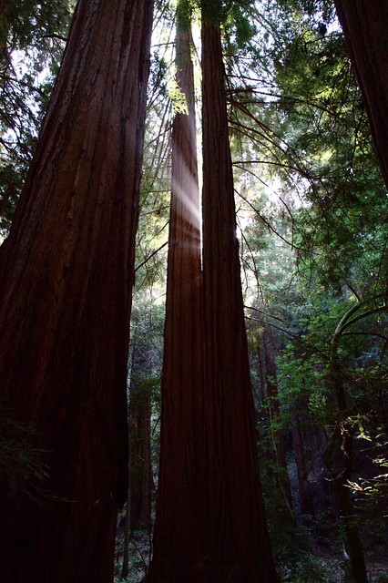
Rays of sunlight burst between two tall trees.
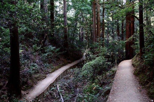
From the bend in Hillside Trail where it doubles back on itself. We had just walked along the right hand side and continued to the left.
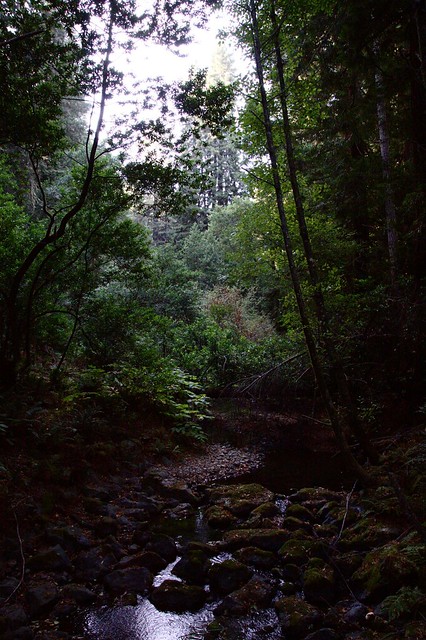
This photo really shows the contrast between the bright sky and the dark forest floor. A stream ran down the middle of the park with trails on either side and bridges crossing it at several points along the way.
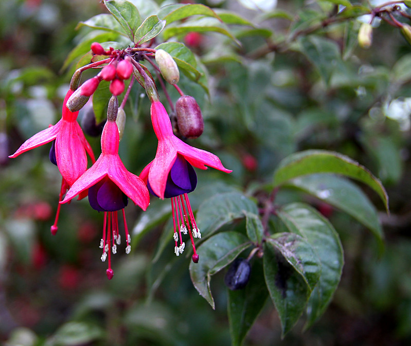
Lori prepared a breakfast of eggs and bacon which we had purchased at the Palace Market in town the night before. Our vacation rental home was perfectly situated just outside the main street area, so we were able to walk to the market.
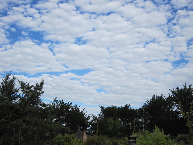
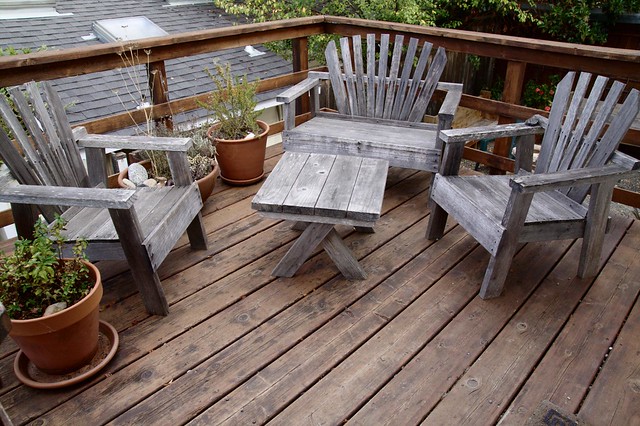
The morning view from the back deck of our rental home in Point Reyes Station, CA
After breakfast we got ready for our trip through Sonoma County, intending to stop at several wineries for tastings and to pick up some bottles of wine to have each night during the rest of our stay.
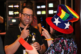
Our trip started with about an hour drive over scenic country roads, through Novato and towards Viansa Winery, the first stop on our trip. At Viansa, Lori ordered a $5 flight of their standard vintages, and I went for the $10 flight of their reserve wines. I was a big fan of their special reserve Merlot which was only for sale right there at the winery. We ended up purchasing one bottle to have that night with dinner.
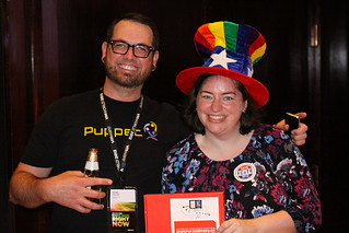
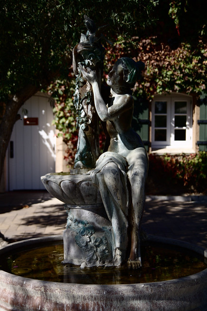
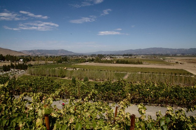
Statue in the garden at the Viansa Winery Surrounding landscape at the Viansa Winery
Next, we drove up the road to Gundlach Bundschu winery. Here, we both had the same flight of wines for about $5 each. Lori really liked their Gewurztraminer which was a drier than usual rendition. We ended up purchasing a bottle of that for the next night.
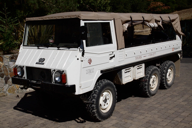
Sadly, we didn’t get to ride in the Pinzgauer at Gundlach Bundschu
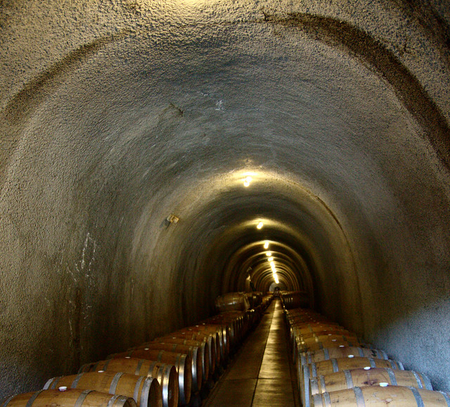
One of the caves at Gundlach Bundschu
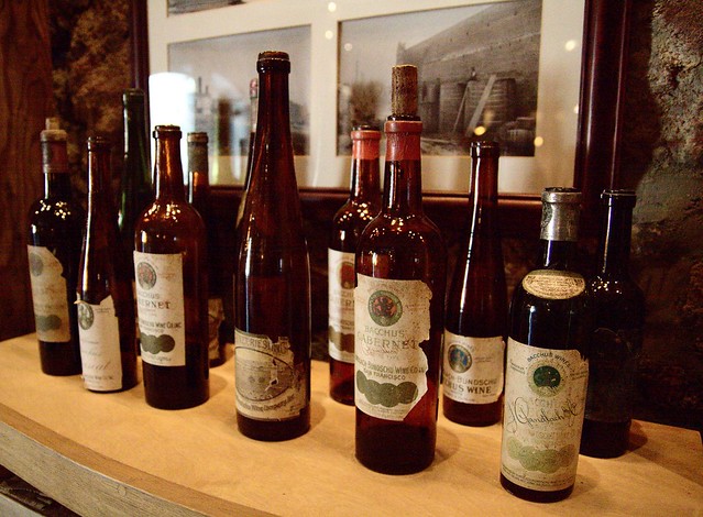
Classic Gundlach Bundschu bottles prove this is one of the oldest wineries in the region.
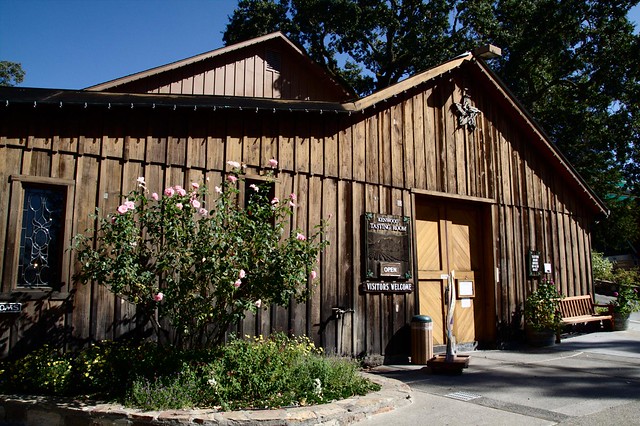
We then headed up the road a bit further into Kenwood to visit the Kenwood Vinyards Winery. Since there were over 26 wines to choose from, we decided to each get a $10 flight, but share the tastings so we could taste as many as possible. Again, I really liked a couple of the Merlots and Lori liked their Gewurztraminer. We landed in between with a bubbly rose which we decided would make a good celebratory bottle for our last night here.
The Tasting Room at Kenwood Vineyards
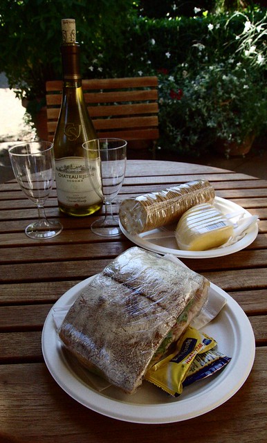
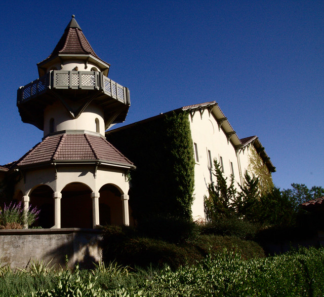
After Kenwood, we decided to take a break from tasting and have some lunch so we headed over to the Chateau St. Jean winery which was just a mile or two up the road. Lori had picked this vineyard because it was described as “just like being in France.” Neither of us have been to France (yet) so we couldn’t really tell if they pulled it off, but we did feel as if we had been transported to a different land. We passed through a beautiful garden area and took many photos before heading to the cafe for some lunch. I ordered a turkey sandwich, some cheese and crackers and a bottle of Chardonnay to share. We just relaxed and enjoyed the food and scenery for the next hour or two. We walked around the garden area again before hitting the road back to Point Reyes Station, about an hour and twenty minute drive which wound through Santa Rosa and Petaluma.
Lunch and the administration buildings at Chateau St Jean
Back at home base, we took another short walk to the market to get steaks and a big yam to share for dinner. Lori also got some ingredients to make apple muffins using the apples in the yard of the house. We weren’t really hungry yet, so we lounged around the house for a few hours before starting supper. This turned out to be a bad idea, though, because the yam was so big it took way too long to cook. We ended up having our wine and steaks around 8:30 PM. That translated to 10:30 PM Iowa time, so Lori was very tired by then.
After Lori retired for the night, I stayed up a little longer to research the route for our next day’s trip to Muir Woods National Monument before heading to bed myself. The exact location of Muir Woods seemed to be an Internet mystery, as both Google Maps and the official park Web sites gave two different sets of directions. This spelled out bad news for the next day. . .
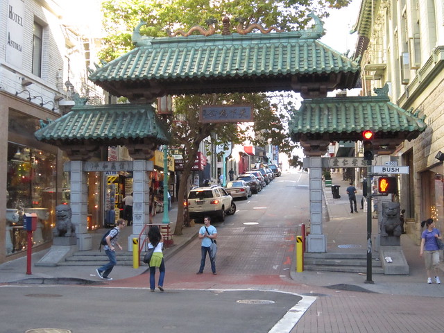
I got a later start this day because I packed everything up at the hotel, checked all our bags with the bellman, then checked us out before hitting the streets around 9:00 AM. I walked around the Powell St. station for a bit before heading away from that area. I tried to wander fairly randomly, weaving through the streets joining Powell, Stockton and Grant Streets. I ended up taking my first photos at the China Town gate at Bush and Grant. I wandered a couple of blocks into China Town before heading back down toward Market Street.
Chinatown gate at Bush and Grant Streets
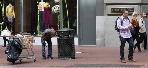
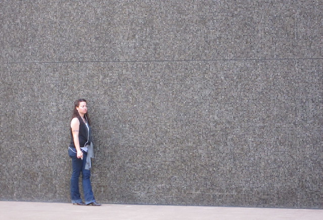
I wandered up and down Market Street several times, plus I ventured off on a few streets adjoining Market. I experimented with some street photography techniques I had studied the day before to see if I could capture some SF life. I think I did a better job this time around.
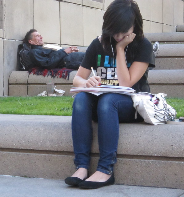
Smoke Break on Market Street; Sleeping and Studying in Union Square
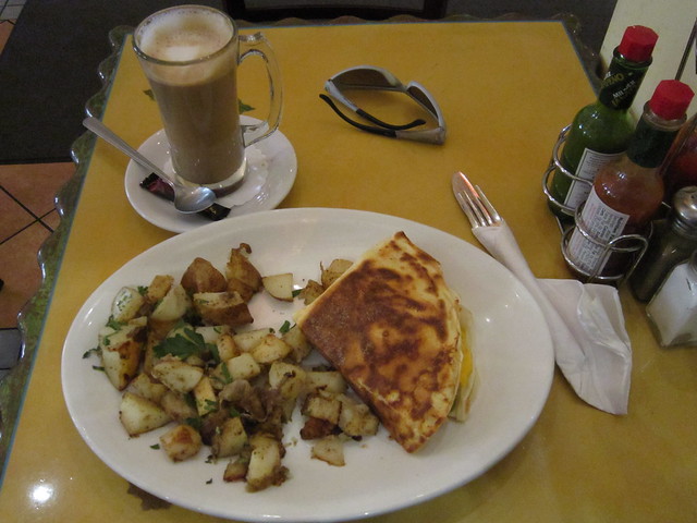
After walking a bit, I realized I had not yet had breakfast. Using my Droid’s Places look-up, I quickly researched a nearby cafe called Honey Honey Cafe & Crepery. I stopped there for a latte and their Breakfast Crepe with a side of potatoes. While it wasn’t quite as good as the Butler and Chef from a few days before, it was a very close second and a very lucky find.
Honey Honey Cafe Breakfast Crepe
After breakfast, I walked up and down Market Street a few more times, trying to capture some more street photos. After I tired of that, I headed over to Yerba Buena Gardens to grab a drink and rest in the shade until Lori’s conference was over.
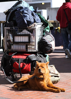
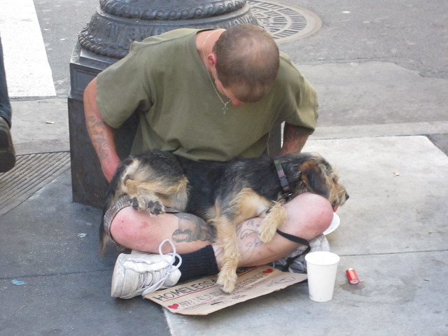
Beggar and his puppy, both sound asleep on the street corner
After catching the shuttle back to the airport, we had our choice of either a bright yellow VW Beetle or a tan Dodge Charger to rent for the rest of the week. Although the bug was tempting, a quick assessment of how much luggage we had led us to choose the Charger with its larger trunk instead. On our way to Point Reyes Station, there was no toll at the Golden Gate Bridge because we were going north bound. We would, however, have to pay that toll on our way back. After the Golden Gate Bridge, our route wound through some very scenic and windy roads until we arrived at our vacation cottage in Point Reyes Station, a town of 350 people.
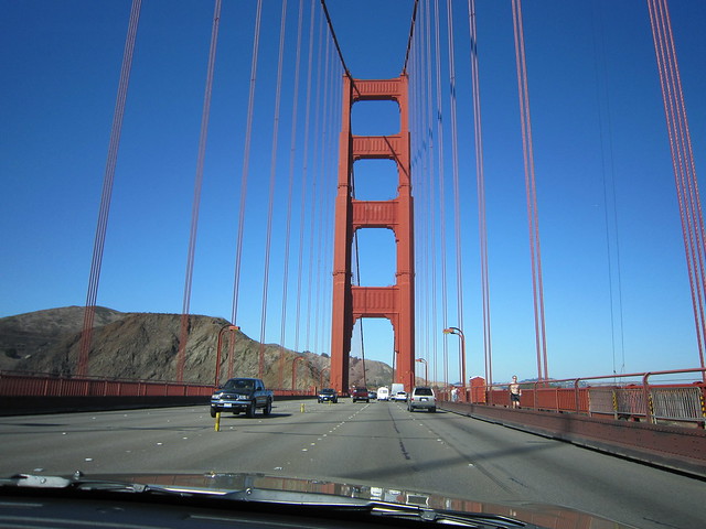
Lori captured this dashboard shot with my camera
while I was busy driving across the Golden Gate Bridge
We were both very hungry and had spied a restaurant on the way in called The Farm House Restaurant & Bar At Point Reyes Seashore Lodge. We hopped in the car and drove back down to the town of Olema (only about 10 minutes away) to have dinner. I had a 23 ounce draft Lagunitas IPA and Lori had a glass of their house Pinot Grigiot. We both had the Pulled Pork BBQ sandwich with delicious yam fries.
We then headed back to the house and relaxed on the back porch the rest of the afternoon while doing some laundry to get us by the rest of the week. The sky was very clear that night, and there was very little light pollution. I could just make out the Milky Way. I also spotted a few satellite flares overhead and saw a few shooting stars.
The back deck at our rental home in Point Reyes Station